
Heritage record
Jamrud Fort
Khyber PakhtunkhwaFortProtected
It is situated in a village having the same name, 16 km to the N-W of the Peshawar. The highway from Peshawar to Kabul and the railway line from Peshawar to Landi Kotal passed through Jamrud. The Khyber pass starts from here and goes up to Landi Kotal. It is built with rubble stones. The exterior surface of the walls is covered with clay mixed with hay. It gives it a yellowish appearance. It is a three-tiered building, the lower fort, an upper and a keep. The lower fort has a square terrace with a circular bastion at each corner. The ramparts used to have some barracks for the soldiers. The upper fort has a octagonal terrace. Its main gate is made of thick steel doors. The part leading to the interior wings through rampart and gradually spiral up. It was built by Hari Singh Nalwala in 1836 CE. He was killed in an encounter with Afghan forces on 30th April 1837. After the demise of the Sikh general, a Samadh and Gurdwara were built with in the fort, in his memory
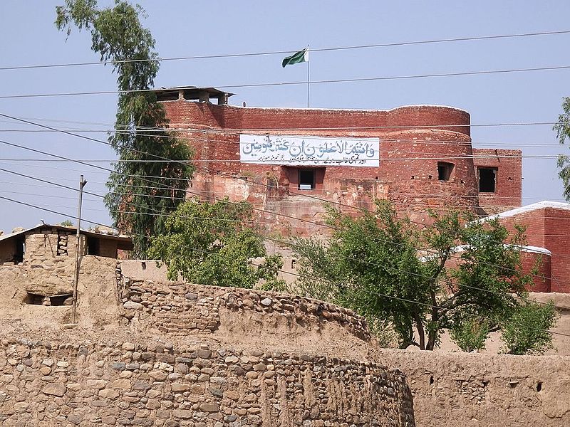
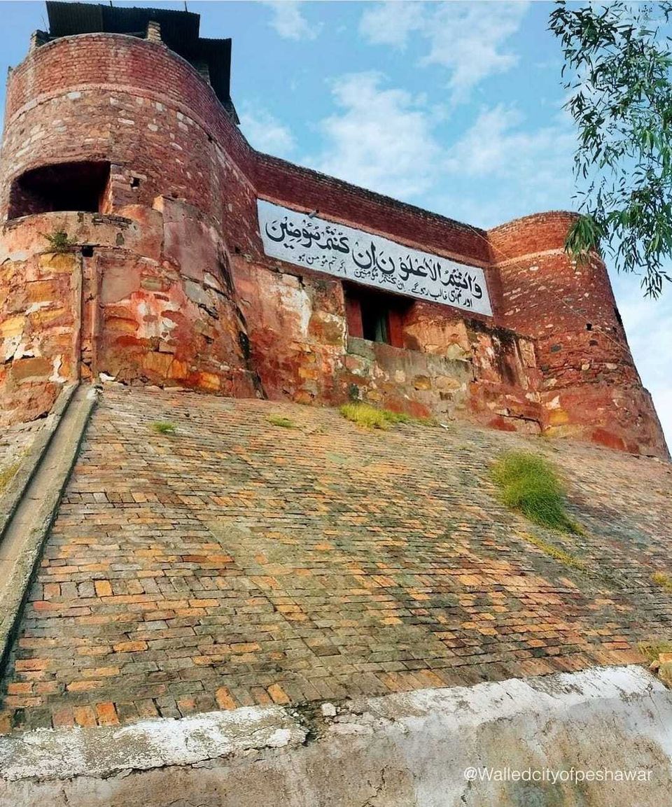
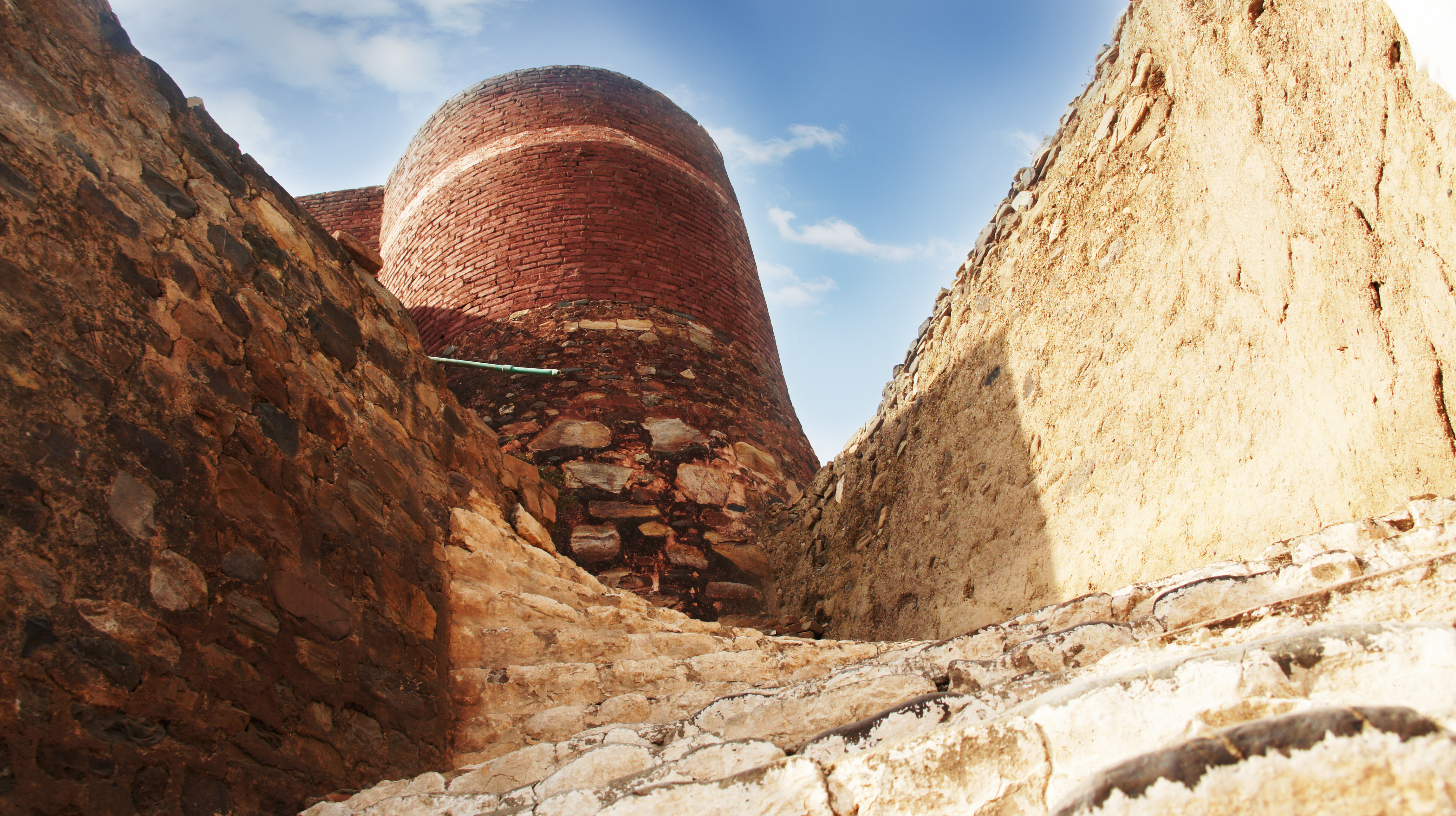
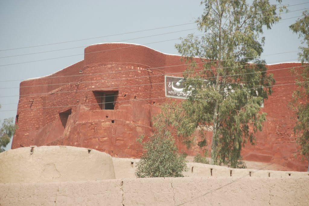
Photographs: Department of Archaeology & Museums national inventory record, displayed from the official source (doam.gov.pk). Not PWHI photography.
- Record ID
- 10361
- Province / territory
- Khyber Pakhtunkhwa
- District
- Peshawar
- Typology
- Monument
- Subtype
- Fort
- Period
- Historic
- Legal status
- Not Protected — UNVERIFIED; no statute or notification cited
- Coordinates
- 34.00315, 71.37841 — source-provided, not field-verified
- Verification status
- source_record; automatically_standardized; verification_required
- Sources
- Anonymous. (2022 (Retrieved)). Jamrud Fort. https://en.wikipedia.org/wiki/Jamrud_Fort.
Found an error in this record? Submit a correction — quote record ID 10361.
Pakistan's Heritage Digital Ecosystem: Heritage Atlas · PWHI · Visual Record · Forum