
Heritage record
Kunala Stupa
PunjabStupa & MonasteryWorld Heritage propertyProtected
The site is located 2 km north-east of Taxila Museum in Sirkap village at the top of the Hathial spur and can be approached via National Highway 125-Sirkap road from Taxila Museum. One has to cross the walkways of Sirkap City and cross the Walkway across the fields to reach the Kunala site. Kunala monastic establishment consists of a monastery and a stupa on its east. Originally there was a small stupa, which, according to Sir John Marshall, was erected in Saka-Parthian times, but it is now incorporated inside the present large stupa. It lay in its north-west corner and was perched on a small rocky eminence well inside the city wall. It was made of rough blocks of limestone, and consisted of a square plinth with drum and dome above, measuring 9.3 m in height. The enlarged stupa is built of semi-ashlar masonry and is standing on a lofty rectangular base, measuring 19.5 m east to west and 32m north to south, with a step projection on the northern side. The base rises in three terraces: the lowermost one is relieved by a series of Corinthian pilasters, the middle one is plain but covered with a coating of plaster, and the uppermost one, exceptionally high, follows the design of the lowest terrace. This type of stupa is typical of this late period. The monastery on the west is not planned directly in relation to the stupa, except that its main entrance faces the stupa on the east. This anomaly was probably due to the nature of the land available here. The monastery consists of a large rectangular court and a smaller (assembly) hall on its south, with the eastern wall of both following the same alignment, the two together measuring 61 m. The smaller hall, which had four pillar bases in the centre obviously for supporting the roof, has a doorway on the west leading perhaps to other facilities that are no longer traceable. The main court has an open quadrangle in the centre and a veranda around and a range of cells behind it, nine cells on each of the four sides, only the corner cells being bigger. They may all be approached from the quadrangle, which has steps on each of the four sides and the remains of a bath at its south-west corner. A drain has been provided to take water out of the quadrangle.
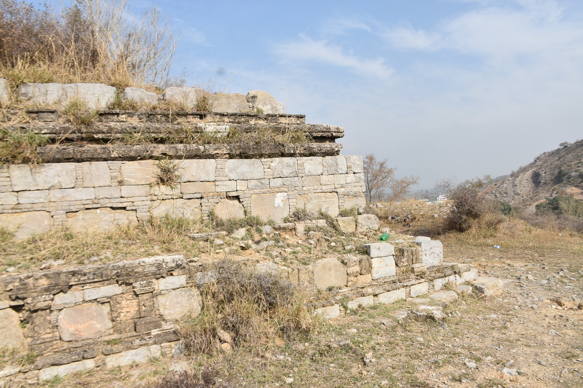
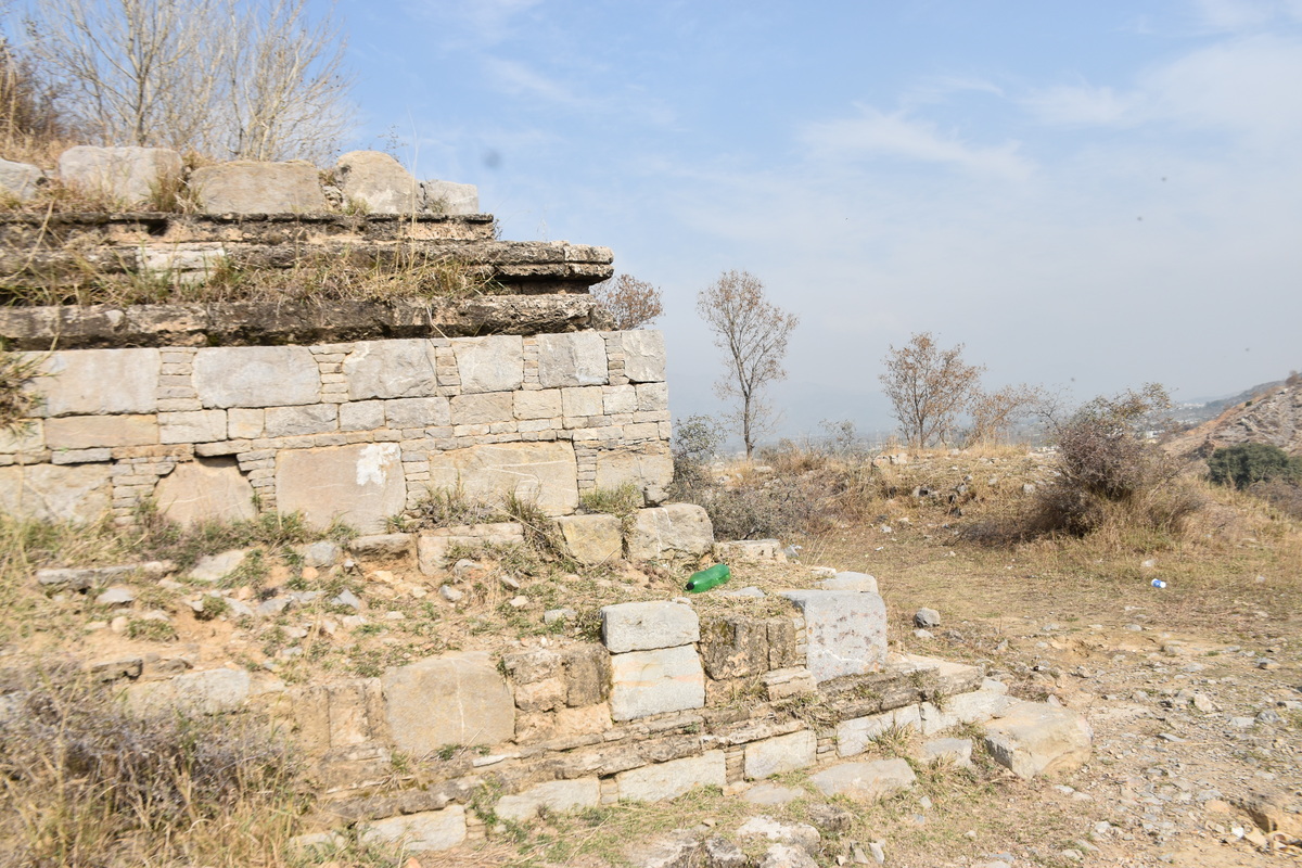
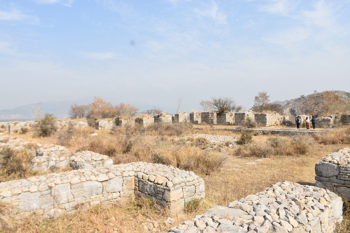
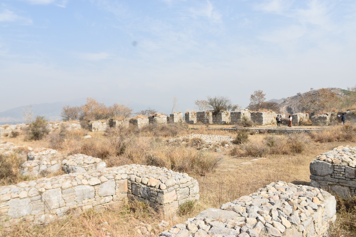
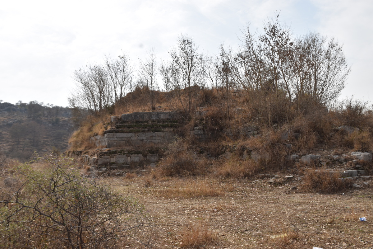
Photographs: Department of Archaeology & Museums national inventory record, displayed from the official source (doam.gov.pk). Not PWHI photography.
- Record ID
- 10362
- Province / territory
- Punjab
- District
- Rawalpindi
- Typology
- Archaeological Site
- Subtype
- Stupa & Monastery
- Period
- Historic
- Legal status
- Protected by The Antiquity Act 1975 (As amended in 1992) (instrument: Protected by The Antiquity Act 1975 (As amended in 1992))
- World Heritage
- Taxila
- Coordinates
- 33.75045, 72.83052 — source-provided, not field-verified
- Verification status
- source_record; automatically_standardized; verification_required
- Sources
- Nadiem, I.H.. (2008). Taxila in Buddhist Gandhara. Sang-e-meel Publications.
Found an error in this record? Submit a correction — quote record ID 10362.
Pakistan's Heritage Digital Ecosystem: Heritage Atlas · PWHI · Visual Record · Forum