
Heritage record
Jinnan Wali Dheri
Khyber PakhtunkhwaStupa & MonasteryProtected
About 10 kilometers northeast of Taxila Museum on the left bank of Haro River on Panj Katta Road leading from Badalpur Buddhist Complex. Jinnan Wali Dheri is one of the best preserved Buddhist monastic complexes in the Taxila valley. The site is roughly rectangular in plan and covers almost 14 kanal of area or 7082 sq.m. It measures 100 meters east to west and 75 meters north to south. The complex includes a main stupa court on the western side with a stupa relatively smaller in size as compared to other stupas in Taxila valley with chapels facing towards the main stupa, votive stupas, two platforms constructed in front of the chapels situated on the both corners of the eastern wall, an upper court with votive stupa and a square monastery on the eastern side of the main stupa court with 17 cells and a water tank in the centre and a central hall. Almost each cell in the monastery has ventilator and customary niches for lamp. The structures are made of semi-ashlar and diaper masonry. The complex is located on a lower surface as compared to the surrounding ground. Fragments of mural paintings on the walls of the corridor of a monastery leading to the main stupa were discovered at Jinnan Wali Dera which had collapsed when the site was destroyed somewhere in the 5th century CE. The paintings depict images of Buddha and figures of worshippers. Most of the paintings have been defaced over the years, but a few fragments of paintings were recovered in a much better condition. A Kharoshthi inscription was found from the site, which is now in Taxila Museum.
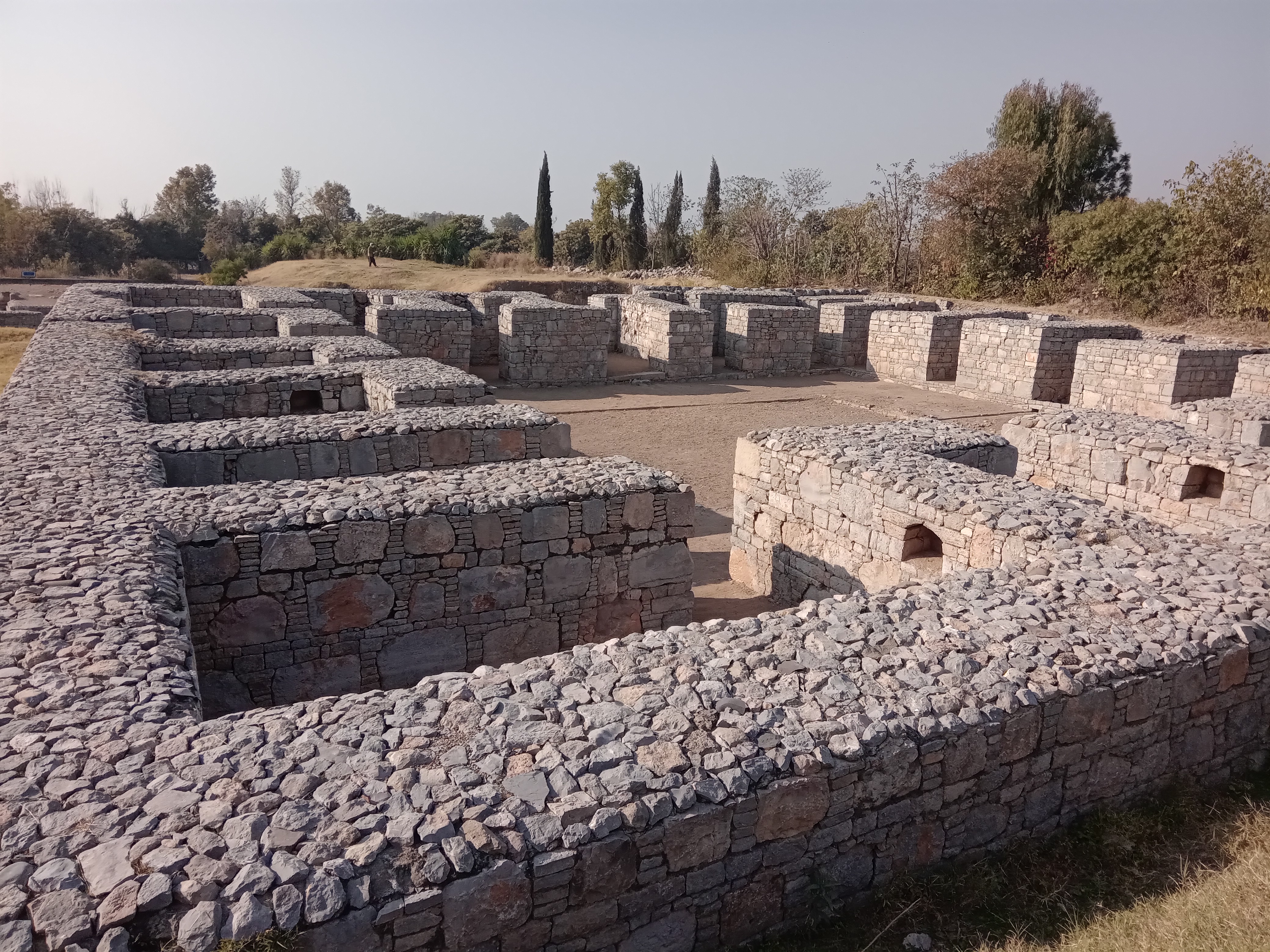
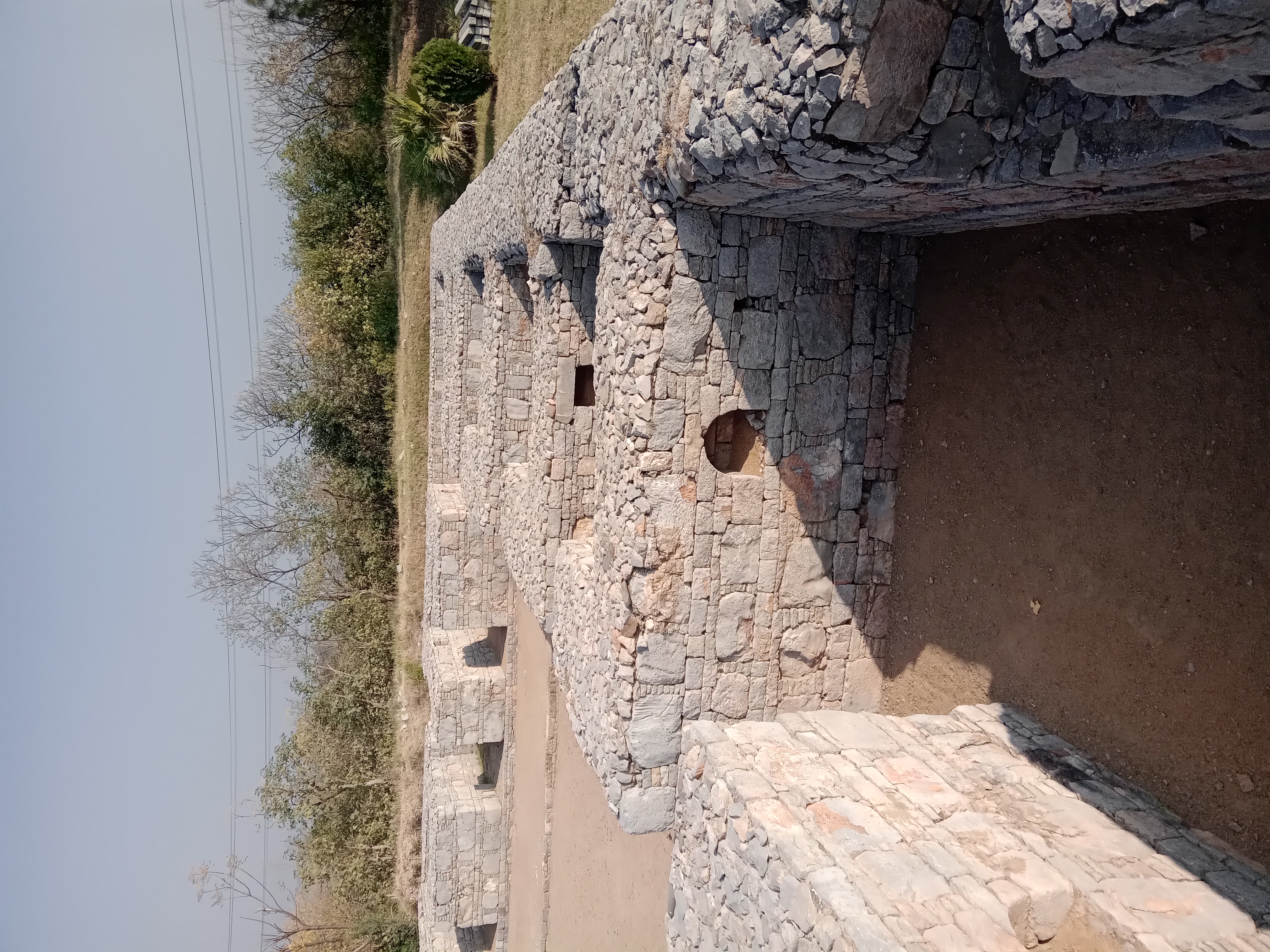
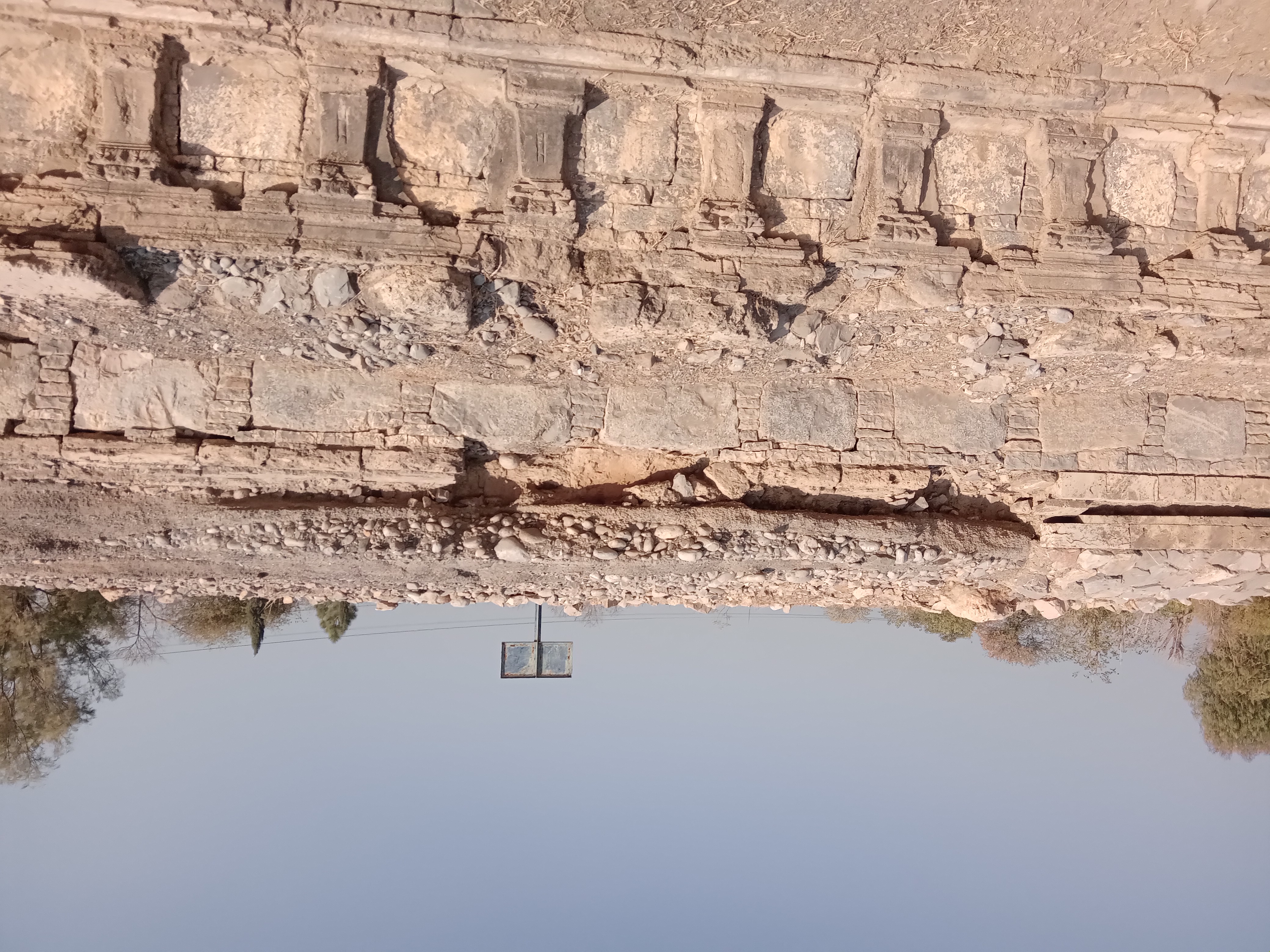
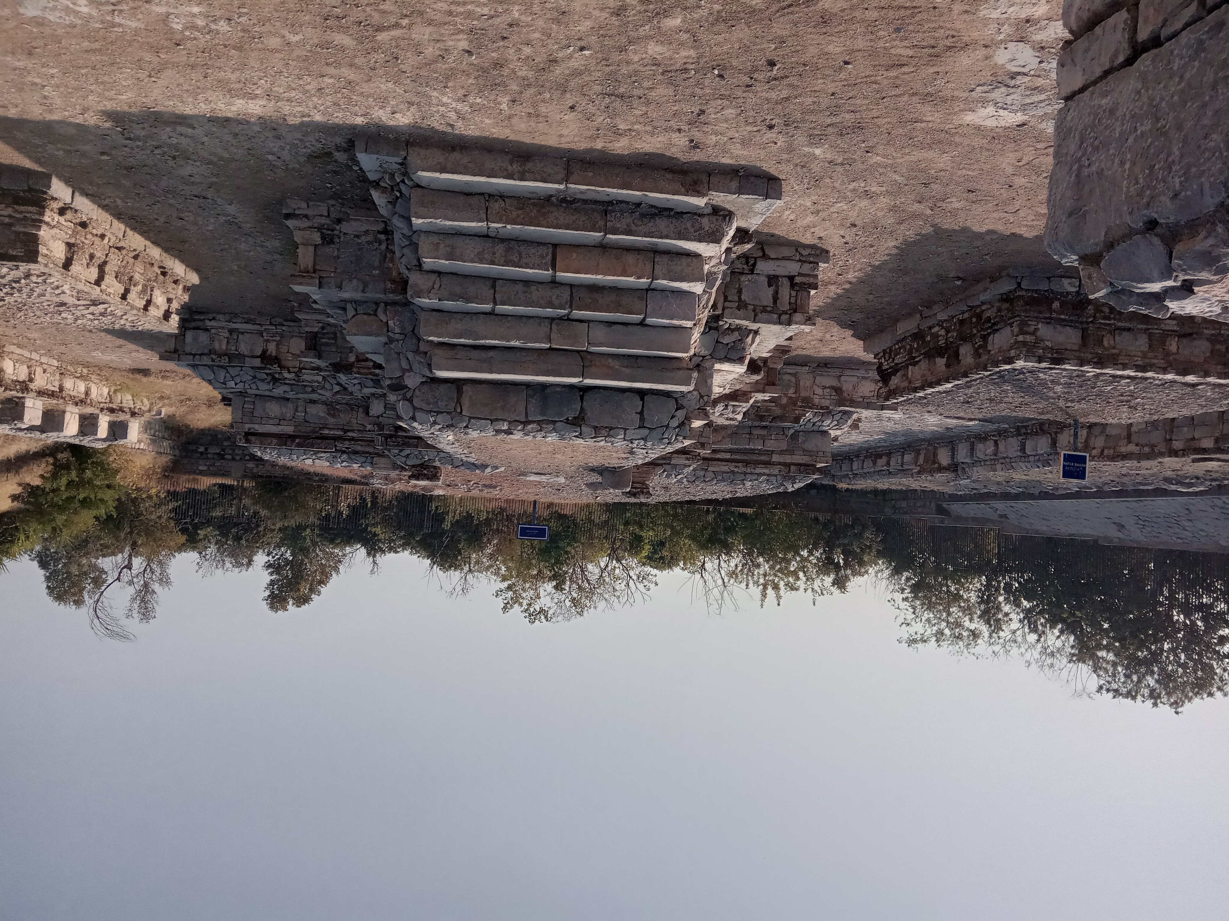
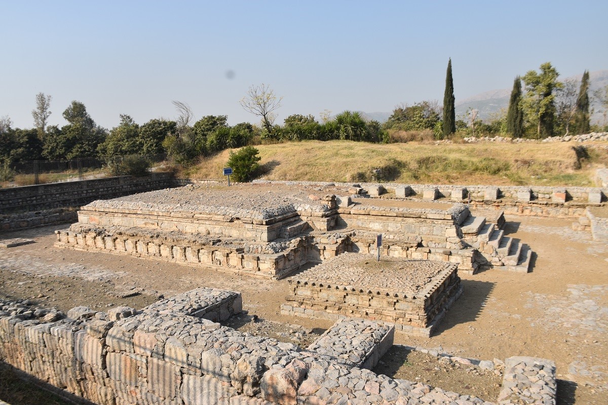
Photographs: Department of Archaeology & Museums national inventory record, displayed from the official source (doam.gov.pk). Not PWHI photography.
- Record ID
- 1359
- Province / territory
- Khyber Pakhtunkhwa
- District
- Haripur
- Typology
- Archaeological Site
- Subtype
- Stupa & Monastery
- Period
- Historic
- Legal status
- Protected by The Antiquity Act 1975 (As amended in 1992) (instrument: Protected by The Antiquity Act 1975 (As amended in 1992))
- Coordinates
- 33.99465, 72.91062 — source-provided, not field-verified
- Verification status
- source_record; automatically_standardized; verification_required
- Sources
- Ali, Ihsan, etal. (2010). Preliminary Report on the Archaeological Survey of District Haripur (2007-08). Pakistan Heritage, Vol II, 2010, Hazara University.
Found an error in this record? Submit a correction — quote record ID 1359.
Pakistan's Heritage Digital Ecosystem: Heritage Atlas · PWHI · Visual Record · Forum