
Heritage record
Pir Baba
Khyber PakhtunkhwaTombProtected
A historical tomb, consists of grave of a local saint, popularly known as Pir Baba. This grave is located near Pacha kalay village and can be accessed via Batai road and spread over an area of 30mx30marea. The grave is affiliated with late Islamic period.
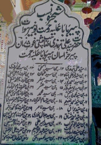
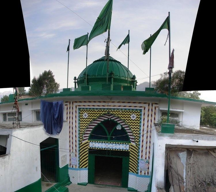
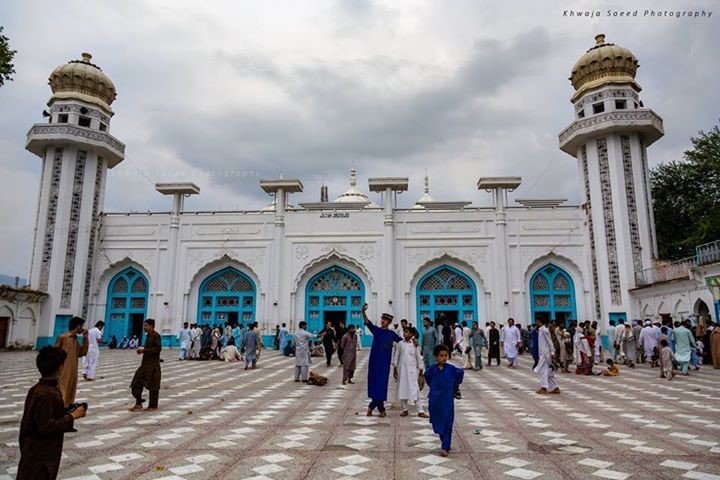
Photographs: Department of Archaeology & Museums national inventory record, displayed from the official source (doam.gov.pk). Not PWHI photography.
- Record ID
- 2540
- Province / territory
- Khyber Pakhtunkhwa
- District
- Buner
- Typology
- Monument
- Subtype
- Tomb
- Period
- Historic
- Legal status
- Not Protected — UNVERIFIED; no statute or notification cited
- Coordinates
- 34.60192, 72.45401 — source-provided, not field-verified
- Verification status
- source_record; automatically_standardized; verification_required
- Sources
- Samad, A & Zafar Hayat Khan. (2016). Archaeological Survey of District Buner (2014-15) Preliminary Report. Frontier Archaeology, Vol VI.
Found an error in this record? Submit a correction — quote record ID 2540.
Pakistan's Heritage Digital Ecosystem: Heritage Atlas · PWHI · Visual Record · Forum