
Heritage record
Akra (Akara) Mound
Khyber PakhtunkhwaSettlementProtected
There are four numbers of ancient mounds at Akra, lying at a distance of about 17 km south-west of Bannu between the Kachkot canal and the Lohra Nullah in the lands of the village of Bharat. Out of the four mounds the main and the central mound is called Akra. Potshards, terracotta figurines and small pieces of relieve-sculptures are visible on the top and sides of the main mound. The site dates back to 6th century BCE during Achaemenid rule, has turned into a sprawling village over the years. The mound, spread over approx. 161874 sq.m area, was declared a heritage archaeological site by the government in 1949. Coins belonging to Hindu Shahi and Islamic periods are found at the site.
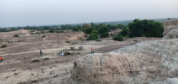
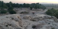
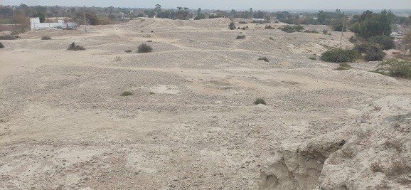
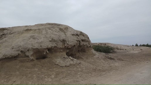
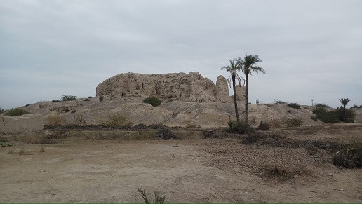
Photographs: Department of Archaeology & Museums national inventory record, displayed from the official source (doam.gov.pk). Not PWHI photography.
- Record ID
- 3184
- Province / territory
- Khyber Pakhtunkhwa
- District
- Bannu
- Typology
- Archaeological Site
- Subtype
- Settlement
- Period
- Historic
- Legal status
- Protected by The Antiquity Act 1975 (As amended in 1992) (instrument: Protected by The Antiquity Act 1975 (As amended in 1992))
- Coordinates
- 32.87722, 70.63561 — source-provided, not field-verified
- Verification status
- source_record; automatically_standardized; verification_required
- Sources
- Khan, Farid. (1986). Archaeological Sites In the Bannu Basin. Lewan and the Bannu Basin, BAR International Series 310.
Found an error in this record? Submit a correction — quote record ID 3184.
Pakistan's Heritage Digital Ecosystem: Heritage Atlas · PWHI · Visual Record · Forum