
Heritage record
Rock Shelter G-13
IslamabadRock ShelterProtected
The rock shelter, measuring 80mx50mx10m in length, width and height respectively. It is situated in sector G-13 and about 100m on the left side of Srinagar highway, entering Islamabad. It is flat terraced space of exposed lime stone boulder with a slight over hang. It faces the south overlooking the plains of Islamabad. Similar rock shelters in the Soan valley have been already reported by the team of the Institute of Anthropology, USA in 1964.
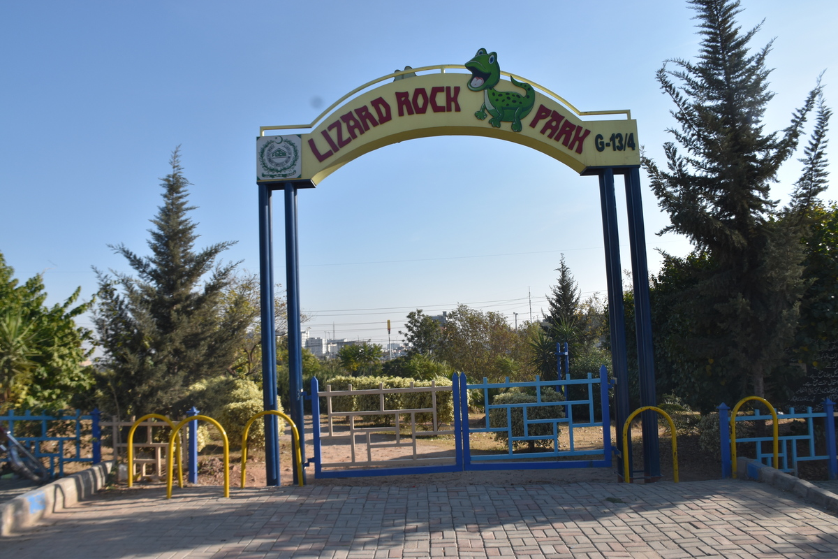
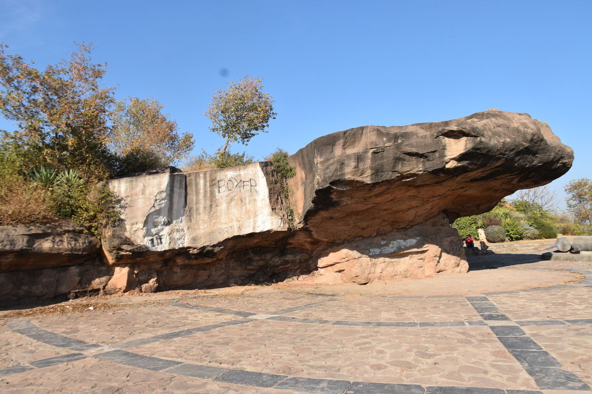
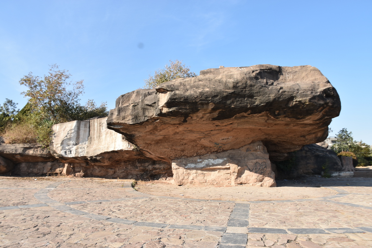
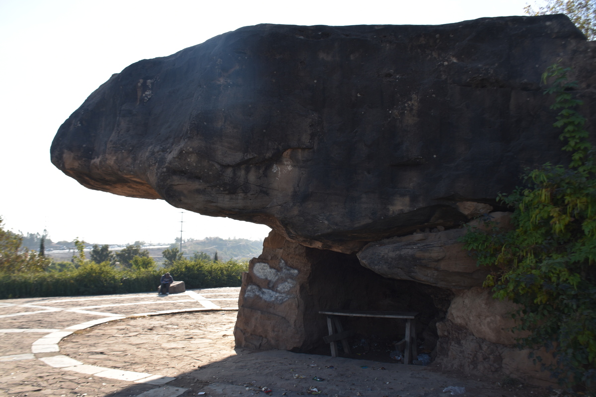
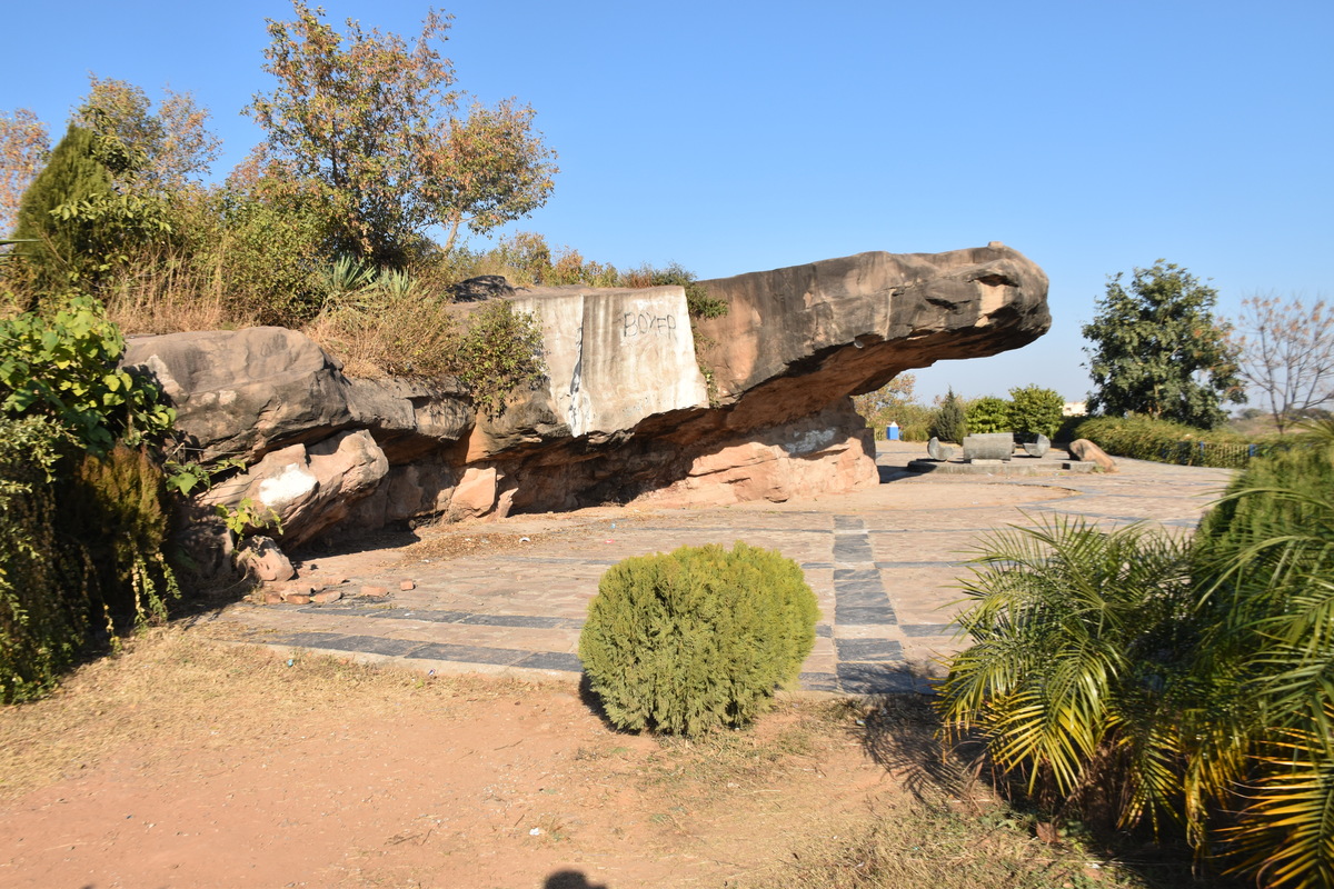
Photographs: Department of Archaeology & Museums national inventory record, displayed from the official source (doam.gov.pk). Not PWHI photography.
- Record ID
- 6342
- Province / territory
- Islamabad
- District
- Islamabad
- Typology
- Archaeological Site
- Subtype
- Rock Shelter
- Period
- Pre Historic
- Legal status
- Not Protected — UNVERIFIED; no statute or notification cited
- Coordinates
- 33.64832, 72.97448 — source-provided, not field-verified
- Verification status
- source_record; automatically_standardized; verification_required
- Sources
- Khan, Muhammad Ashraf et.al. (2010). Pre-Historic Rock Shelters and Caves in Capital Territory Islamabad and District Rawalpindi. Journal of Asian Civilizations, Vol. 33, No. 1, July 2010.
Found an error in this record? Submit a correction — quote record ID 6342.
Pakistan's Heritage Digital Ecosystem: Heritage Atlas · PWHI · Visual Record · Forum