
Heritage record
Shah Allah Ditta Caves
IslamabadCaveProtected
Shah Allah Ditta Caves are situated on the southern side of Margalla hills in a small picturesque valley, only 14 km north-west of the capital Islamabad, measuring 40m in length, 60m in width and 08m in height. The caves consist of two natural kanjur rock shelters situated on either side of the natural spring. Front side of the eastern cave no.1 is covered with a wall of undressed stone laid in lime mortar. A narrow approach to the cave is provided in the eastern north. Facade of the cave is covered with mud plaster having coatings of red color. Cave no.2 also consists in natural kanjur rock stone. Inside the cave, a small platform (1m in length) is provided. The colour of walls and roof has become blackish due to smoke of the fire used by the inhabitants. In front of the caves, there are remains of a paved channel and a square water tank measuring 9x6 m constructed in lime stone blocks, laid in lime mortar.
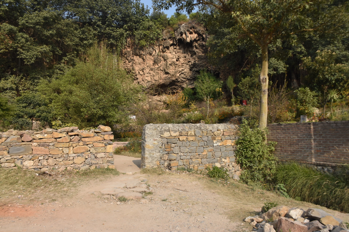
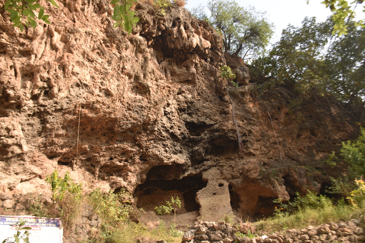
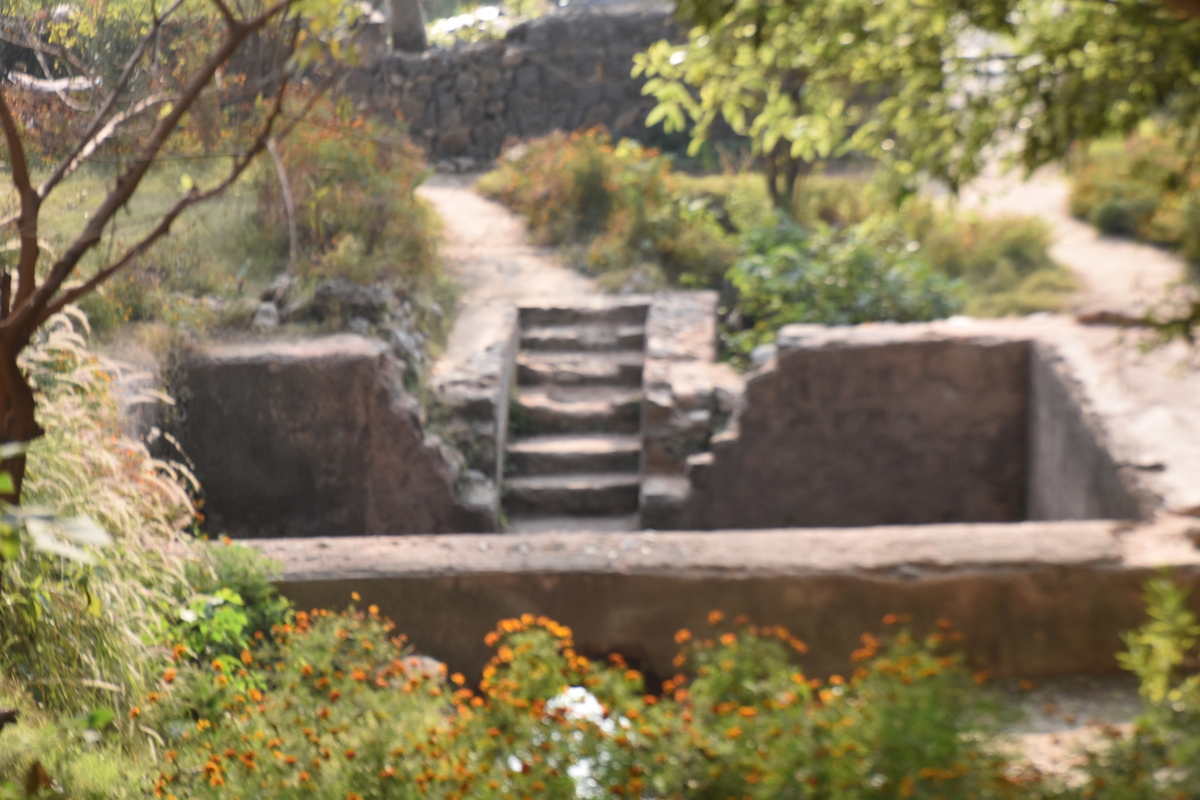
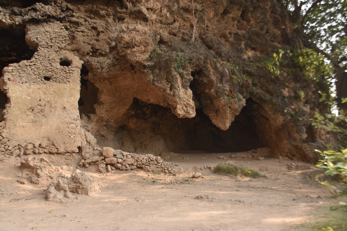
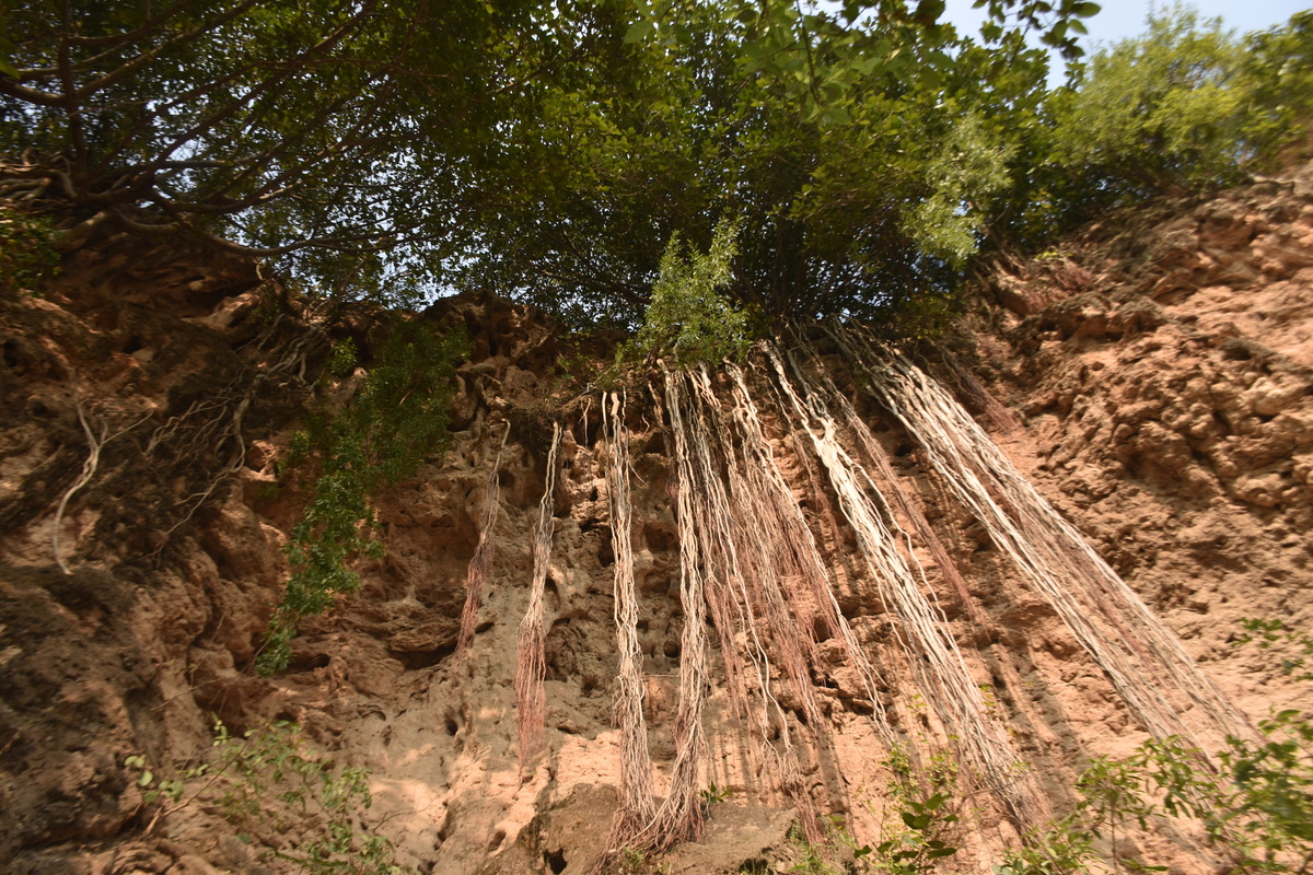
Photographs: Department of Archaeology & Museums national inventory record, displayed from the official source (doam.gov.pk). Not PWHI photography.
- Record ID
- 6344
- Province / territory
- Islamabad
- District
- Islamabad
- Typology
- Archaeological Site
- Subtype
- Cave
- Period
- Historic
- Legal status
- Protected by The Antiquity Act 1975 (As amended in 1992) (instrument: Protected by The Antiquity Act 1975 (As amended in 1992))
- Coordinates
- 33.72205, 72.91516 — source-provided, not field-verified
- Verification status
- source_record; automatically_standardized; verification_required
- Sources
- Khan, Muhammad Ashraf et.al. (2010). Pre-Historic Rock Shelters and Caves in Capital Territory Islamabad and District Rawalpindi. Journal of Asian Civilizations, Vol. 33, No. 1, July 2010.
Found an error in this record? Submit a correction — quote record ID 6344.
Pakistan's Heritage Digital Ecosystem: Heritage Atlas · PWHI · Visual Record · Forum