
Heritage record
Nandana Fort
PunjabFortProtected
About 19 km due east of the town of Choa Dadam Shah (spring of Saidan Shah) is the village Ara from where extends an open plateau well provided with water. Actually, Nandana starts from here following a steep winding road which leads down over this rocky scrap of the range for about 3 km to a picturesque dip between the two sub-ranges of the outer salt range. These sub-ranges are washed by two hilly rivulets meeting below the ruined Nandana Fort which is very seriously entrenched between these ranges at a height of 457 m. Abu Rehan Al-Beruni observed the latitude of Nandana as 30 i.e., with a difference of 43 minutes. The route starting from Ara, according to Sir Aural Stein, is most probably the one adopted by Alexander`s forces following the Nandana Pass in order to descend to the river Hydespes (Jhelum) which he ultimately crossed at Jalalpur (Boukephala), 28 km S.E. of Ara. The same plateau of Ara was again perhaps the battlefield between Mahmud of Ghazna and Bhimpal the son of Trilochanpal, the last ruler of Hindu Shahis dynasty, in the year H. 404/1014 CE when after a fierce battle Mahmud captured Nandana Fort and appointed one Sarugh as Kotwal (officer in charge of the Fort). This shows the historical importance of Nandana and its neighboring country at least from 3rd century B.C. onward. Early in the 13th century it was held by Qamruddin Karmani, who was dispossessed by a general of Jalal-ud-din, Sultan of Khawarism. The latter was defeated in 1021 CE by Chingez Khan at the bank of Indus and one of Chingez Khan` officer named Turti captured Nandana and put its inhabitants to sword. Nandana appears in the list of places conquered by Iltutmish (Altamash) whose son Mahmud dispatched army in the year 1247 CE to ravage the hills of Jud (Slat Range) and the country round Nandana in order to punish a Rana who had guided Mangol inroad in the previous year. It appears thereafter Nandana was neglected and ultimately ruined. The mosque comprises a prayer chamber and the enclosed courtyard. It appears that it was built within the ruins of an older and larger structure of which a wall still survives. There was a fragment of an inscription in the mosque but too illegible. The earliest of three remains are that of stupa which may date not later than the 7th- 8th centuries CE. Besides there are a large number of Muslim graves scattered all over the western slope, but none having any inscription.
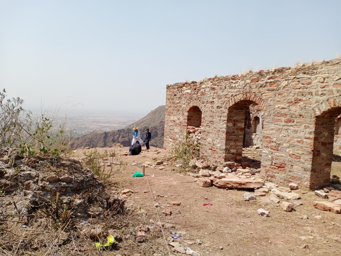
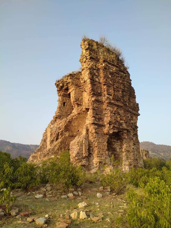
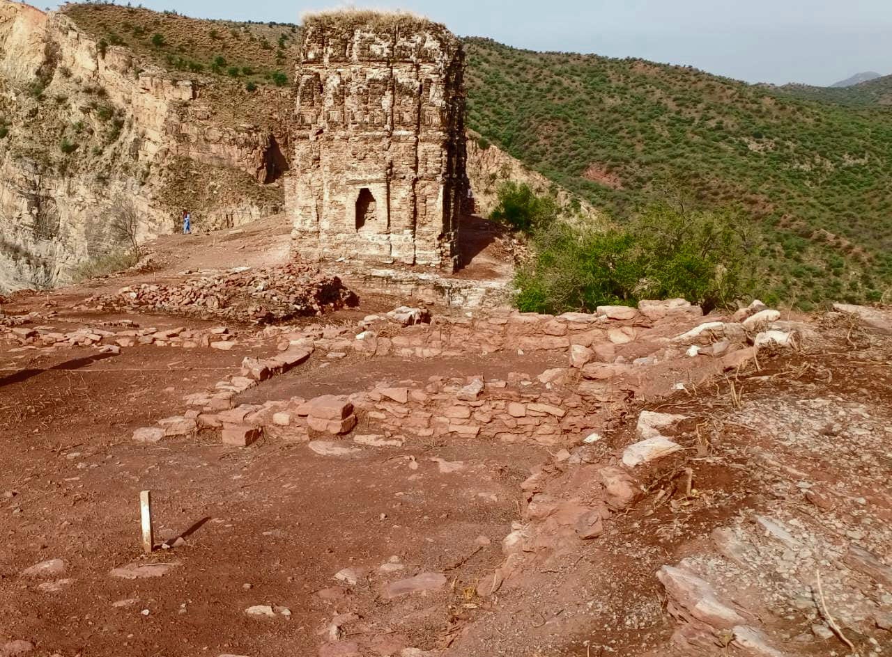
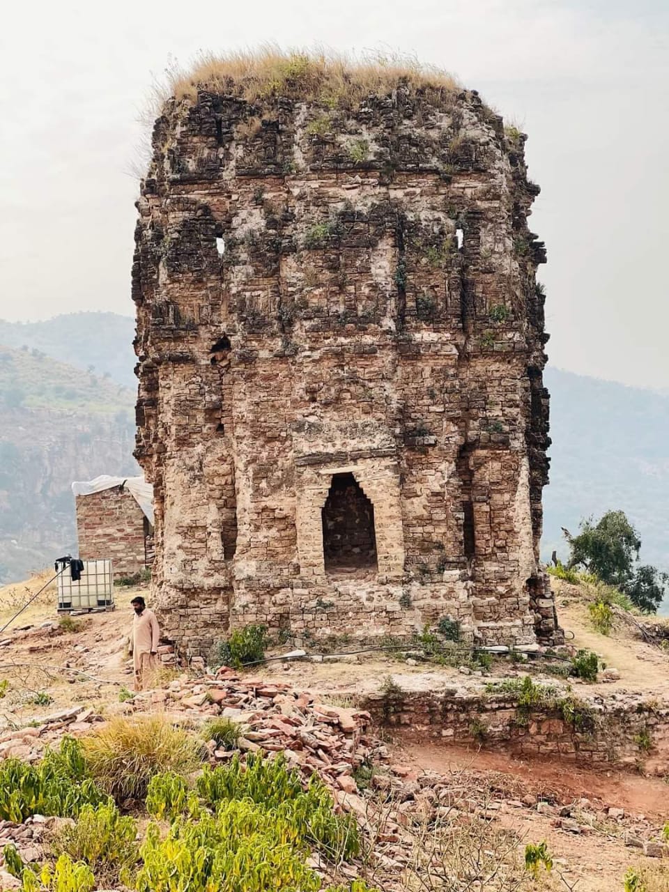
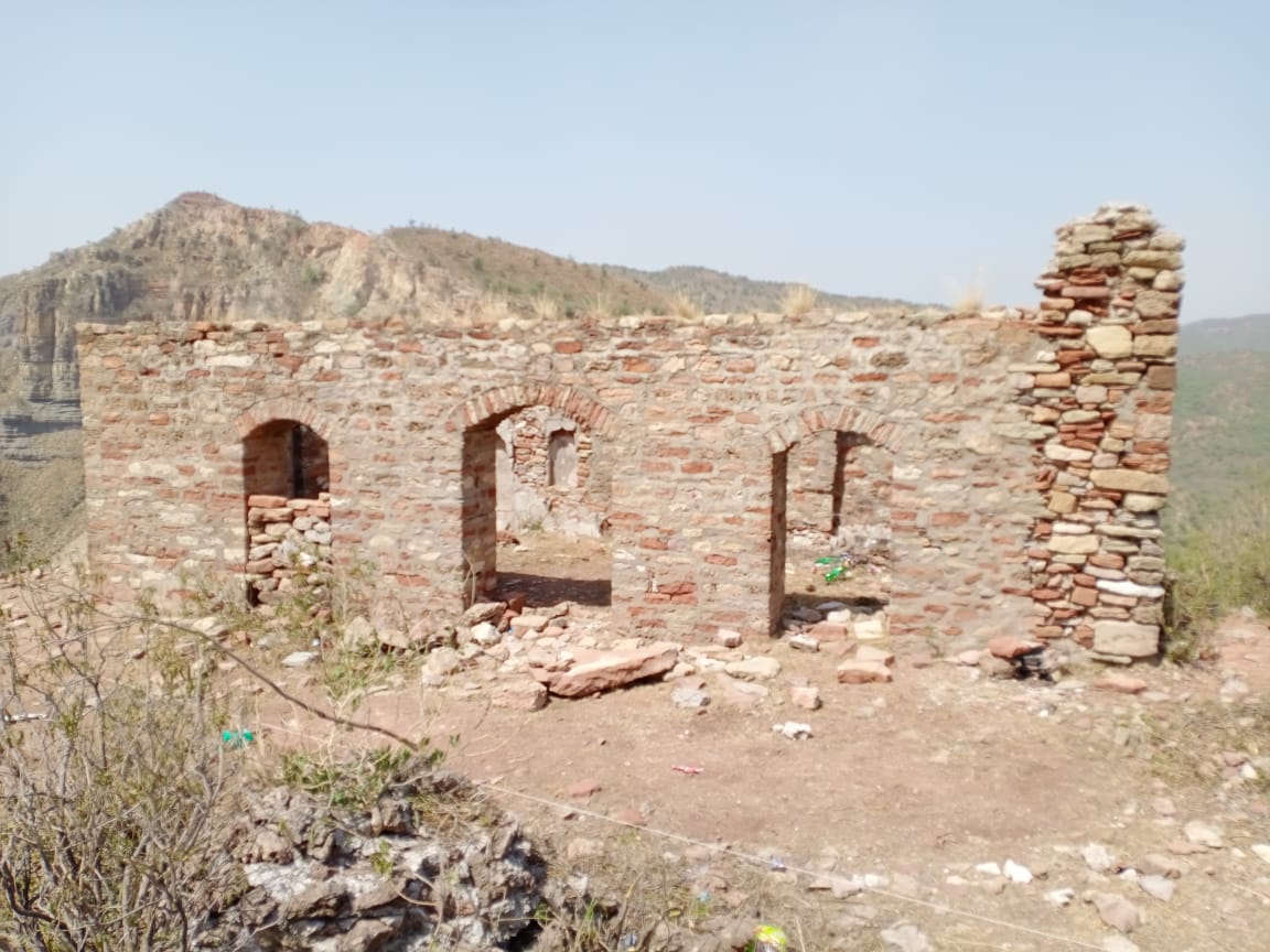
Photographs: Department of Archaeology & Museums national inventory record, displayed from the official source (doam.gov.pk). Not PWHI photography.
- Record ID
- 8267
- Province / territory
- Punjab
- District
- Jhelum
- Typology
- Monument
- Subtype
- Fort
- Period
- Historic
- Legal status
- Protected by The Antiquity Act 1975 (As amended in 1992) (instrument: Protected by The Antiquity Act 1975 (As amended in 1992))
- Coordinates
- 32.72801, 73.23589 — source-provided, not field-verified
- Verification status
- source_record; automatically_standardized; verification_required
- Sources
- Khan, Ahmad Nabi. (1987). Archaeological Sites and Historical Monuments Protected Under the Antiquities Act, 1975. Federal Department of Archaeology & Museums, Government of Pakistan, Islamabad.
Found an error in this record? Submit a correction — quote record ID 8267.
Pakistan's Heritage Digital Ecosystem: Heritage Atlas · PWHI · Visual Record · Forum