
Heritage record
Miri Kalat
BalochistanSettlementProtected
It is the most significant site of Central Makran, located about 6 km north-west from Turbat o the right bank of the Kech River. This promising site was first visited in 1931 by Stein, but he could not survey the site due to other important tasks. He mentioned the pottery of undoubtedly pre-historic type. Surface collection from the pottery consists of pottery of the Dasht and Shahi Tump assemblage, the so-called Zangian pottery and Islamic pottery. The pottery of Mature Harappan period was also collected from the southern edge of the site, taking the site to the Harappan period. The fortress at the site was constructed during 18th-19th century CE.
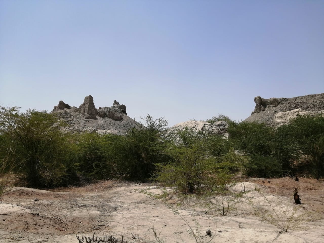
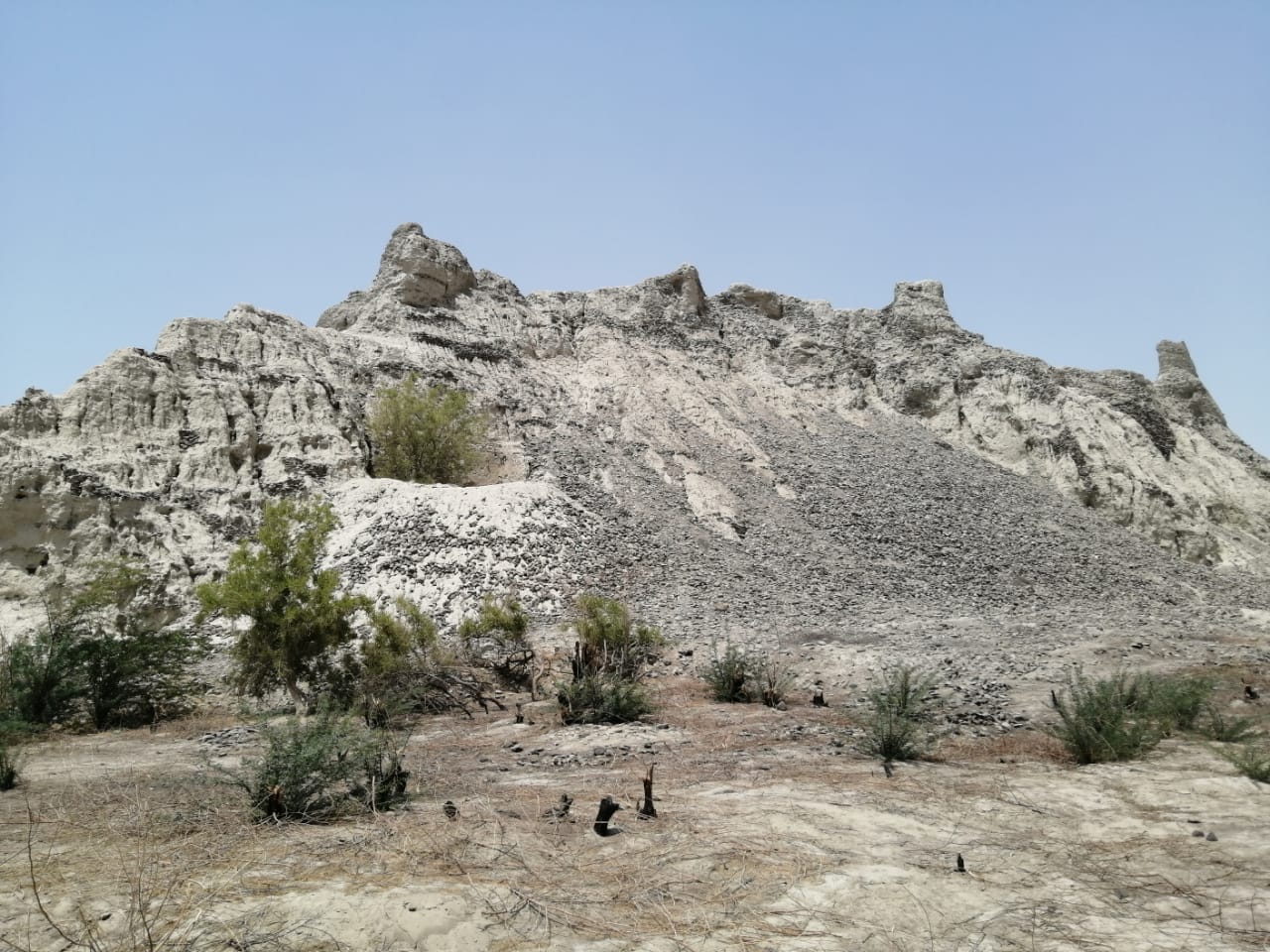
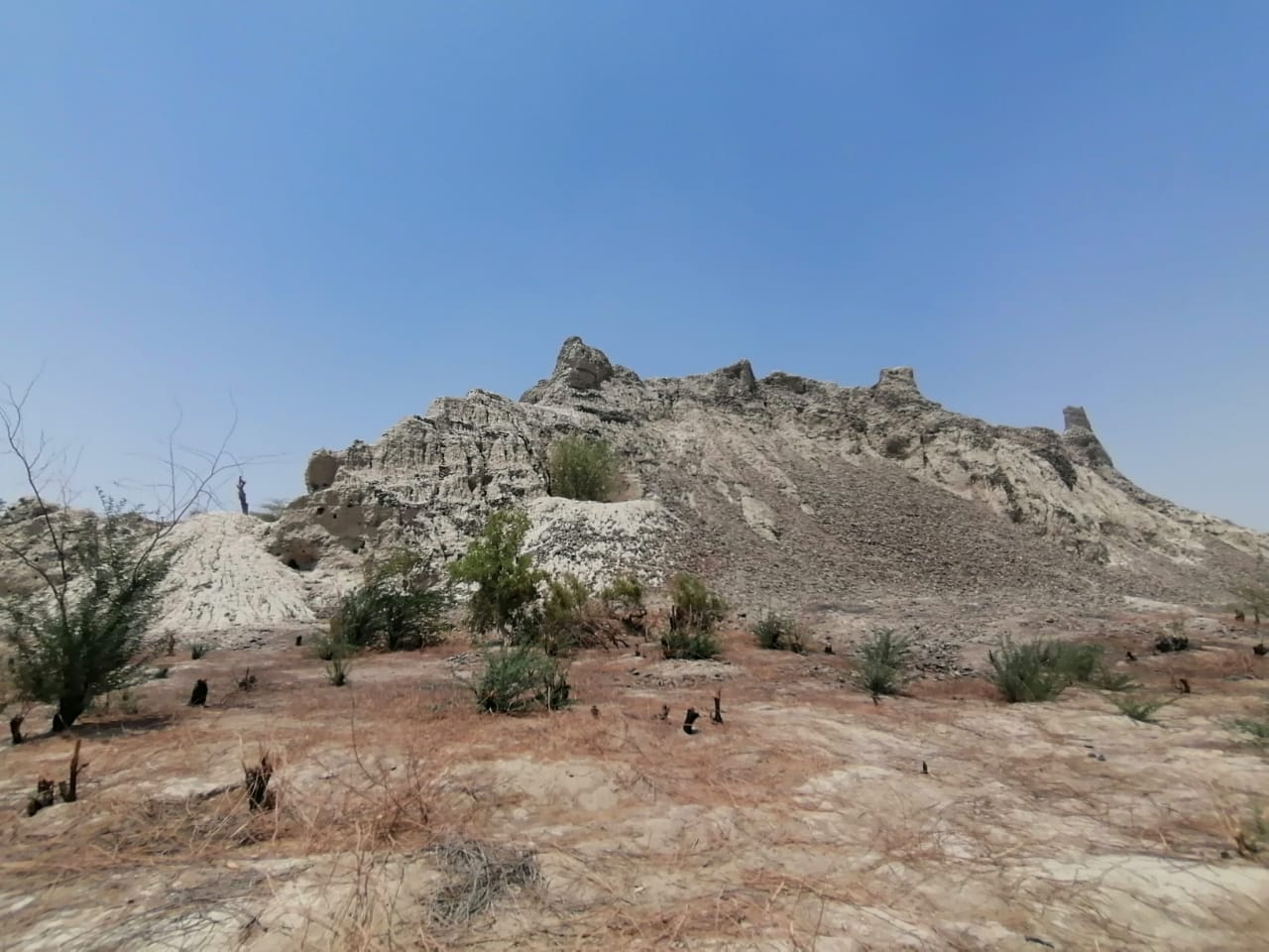
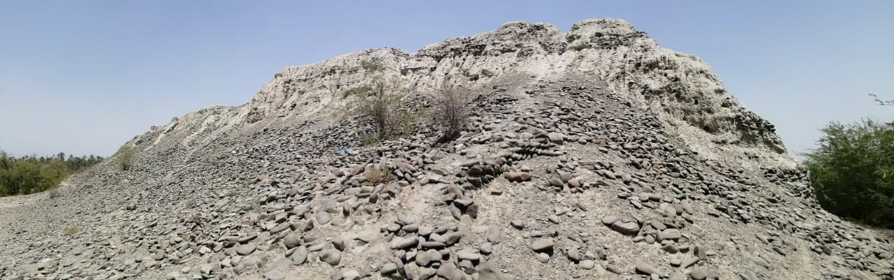
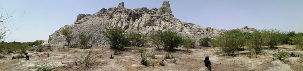
Photographs: Department of Archaeology & Museums national inventory record, displayed from the official source (doam.gov.pk). Not PWHI photography.
- Record ID
- 8485
- Province / territory
- Balochistan
- District
- Turbat
- Typology
- Archaeological Site
- Subtype
- Settlement
- Period
- Proto Historic
- Legal status
- Not Protected — UNVERIFIED; no statute or notification cited
- Coordinates
- 25.70417, 62.50833 — source-provided, not field-verified
- Verification status
- source_record; automatically_standardized; verification_required
- Sources
- Masih, Farzand. (1994). Explorations in Makran (Gawadar and Turbat Districts, 1988). Lahore Museum Bulletin , Centenary Issue, 1994.
Found an error in this record? Submit a correction — quote record ID 8485.
Pakistan's Heritage Digital Ecosystem: Heritage Atlas · PWHI · Visual Record · Forum