
Heritage record
Mound No. 1 near village Killi Gul Muhammad
BalochistanSettlementProtected
Mound number 1 is lying south of Quetta Chaman Road at a distance of about 6.5 km from Quetta city. Village Killi Gul Muhammad is situated about a kilometer south west of the site. It is approximately 100 m long (north-west to south-east) by 55 m wide. The site is about 7 m high. It is covered with modern graves all over except the south side. On all its edges irrigation trenching has uncovered many shards, especially along the south and east. Besides pot-shards are found lying all over the mound. The period of the site goes back to about 3200 B.C. Excavations at Kile Gul Muhammad in the Quetta valley show that people were living in small villages and practiced animal husbandry and limited agriculture. Gradually they evolved and refined the art of making pottery and developed a distinct culture, which in these early stages was closely tied to Iran and Turkmenistan, but later acquired a clearly indigenous, sub continental character.
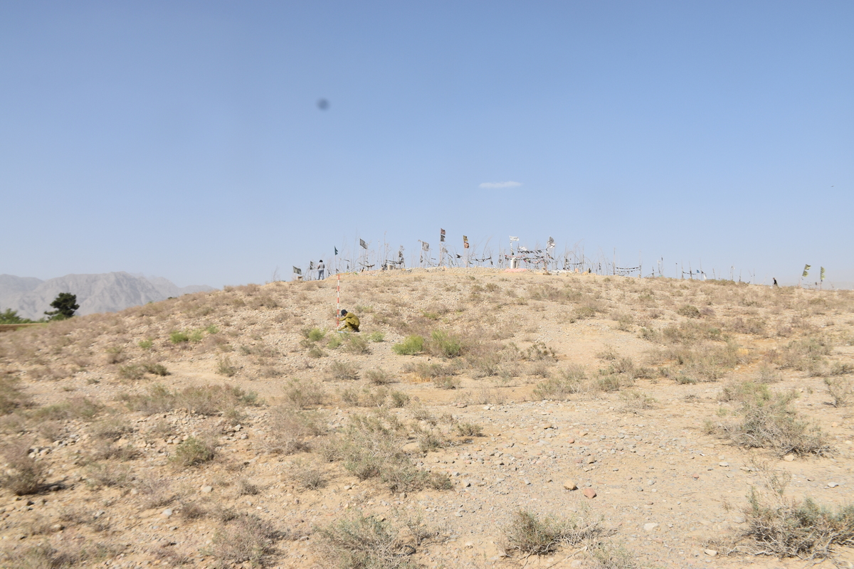
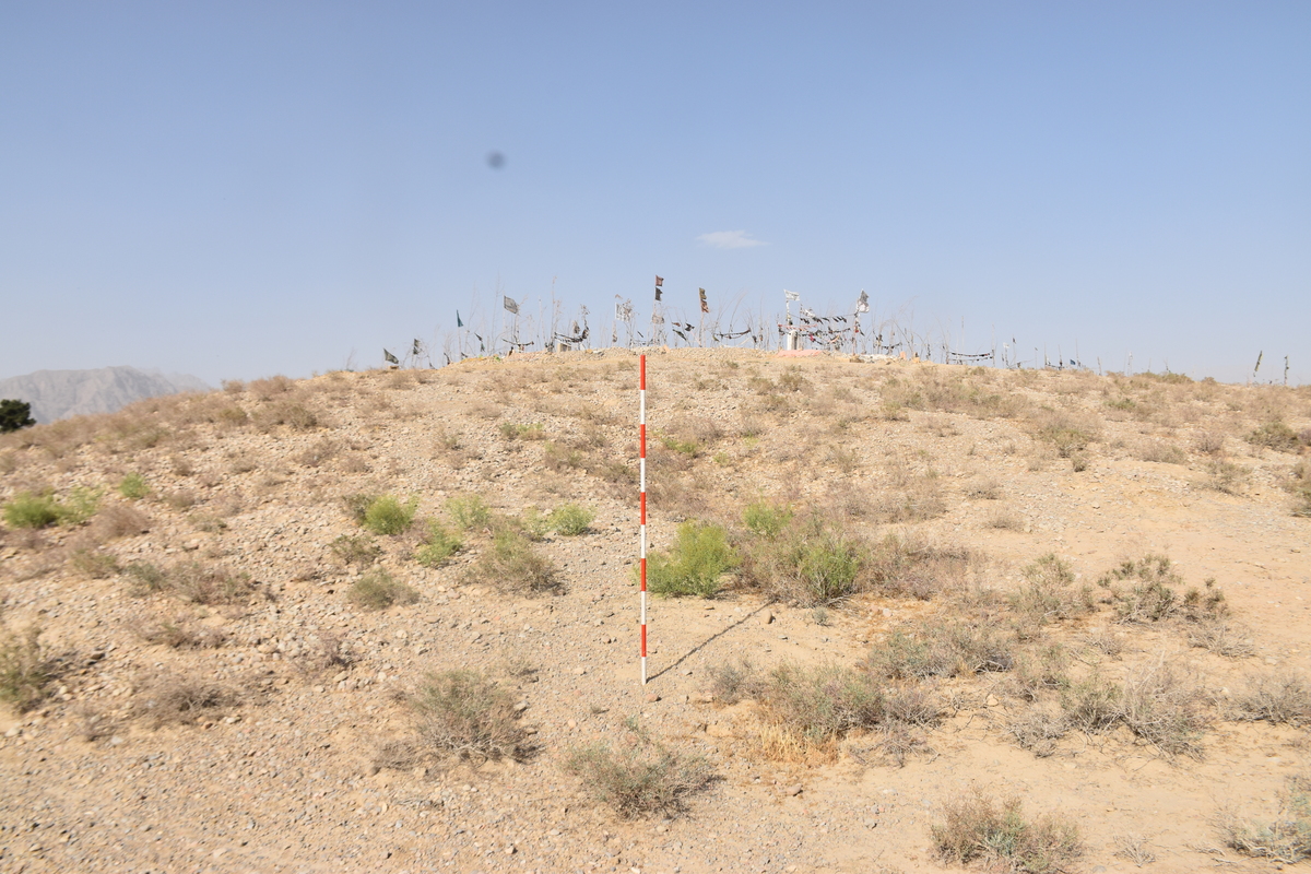
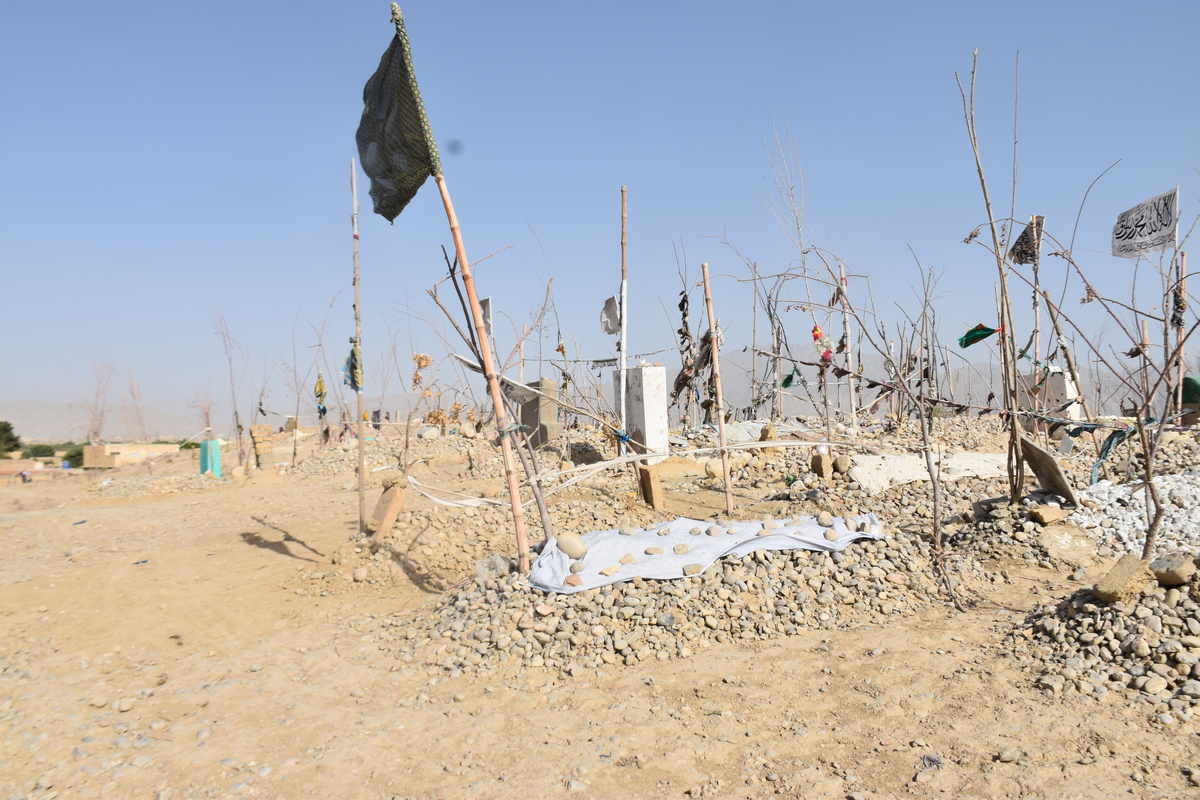
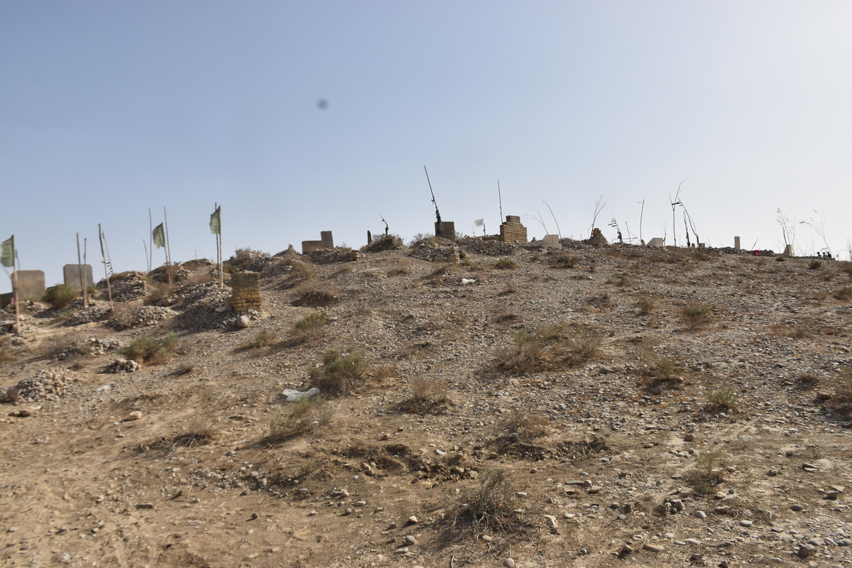
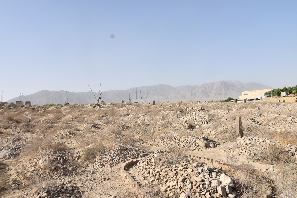
Photographs: Department of Archaeology & Museums national inventory record, displayed from the official source (doam.gov.pk). Not PWHI photography.
- Record ID
- 9661
- Province / territory
- Balochistan
- District
- Quetta
- Typology
- Archaeological Site
- Subtype
- Settlement
- Period
- Proto Historic
- Legal status
- Protected by The Antiquity Act 1975 (As amended in 1992) (instrument: Protected by The Antiquity Act 1975 (As amended in 1992))
- Coordinates
- 30.24448, 66.98052 — source-provided, not field-verified
- Verification status
- source_record; automatically_standardized; verification_required
- Sources
- Khan, Ahmad Nabi. (1987). Archaeological Sites and Historical Monuments Protected Under the Antiquities Act, 1975. Federal Department of Archaeology & Museums, Government of Pakistan, Islamabad.
Found an error in this record? Submit a correction — quote record ID 9661.
Pakistan's Heritage Digital Ecosystem: Heritage Atlas · PWHI · Visual Record · Forum